Kitale is an agricultural town located in northwestern Kenya, situated between Mount Elgon and the Cherangany Hills at an elevation of approximately 1,900 meters. It serves as the capital of Trans-Nzoia County and is known for its rich farming heritage, particularly in maize, wheat, and coffee production.
Kitale’s history as a settlement dates back to the early 20th century when European farmers first established permanent farms in the area.
Where is Kitale located?
Kitale is situated in the northern part of Kenya’s former Rift Valley province. It lies between two prominent geographical features:
- Mount Elgon to the west
- Cherangany Hills to the east
The town’s strategic location has contributed to its development as an agricultural hub, benefiting from the fertile soils and favorable climate of the region.
What is the history of Kitale?
Kitale’s history is closely tied to Kenya’s colonial past and agricultural development:
- Early 1900s: European settlers began establishing farms in the area.
- 1920s: Kitale became one of the farthest inland settlements for permanent farmers near the Uganda border.
- Post-independence: The town continued to grow as an important agricultural center.
- Present day: Kitale remains a significant town in Kenya’s agricultural landscape.
The town’s development was primarily driven by its agricultural potential, which attracted settlers and led to the establishment of farms that would shape the region’s economy.
What is the economic importance of Kitale?
Kitale’s economy is predominantly based on agriculture. The town and its surrounding areas are known for:
- Maize production
- Wheat farming
- Coffee plantations
- Dairy farming
The agricultural sector not only supports local livelihoods but also contributes significantly to Kenya’s food security and export economy. The town serves as a market center for the agricultural products from the surrounding Trans-Nzoia district.
What are the main attractions in Kitale?
Despite being primarily an agricultural town, Kitale offers several attractions for visitors:
- Saiwa Swamp National Park: A small national park known for its population of sitatunga, a rare aquatic antelope.
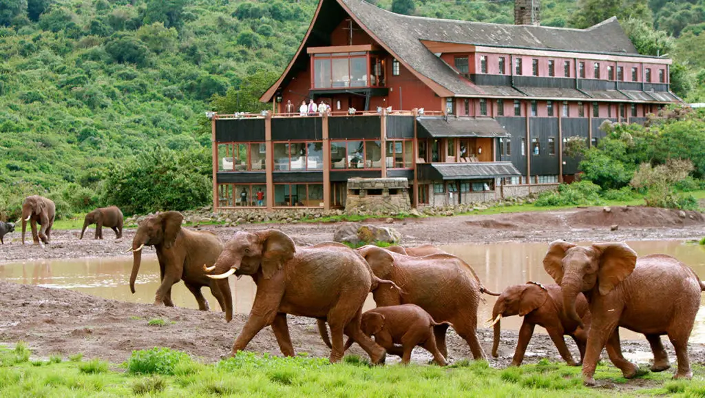
- Mount Elgon National Park: Located nearby, offering hiking and wildlife viewing opportunities.
- Kitale Museum: Showcases the cultural heritage of the region.
- Kitale Nature Conservancy: A private wildlife conservancy.
These attractions provide insights into the natural and cultural heritage of the region, complementing Kitale’s agricultural character.
What challenges does Kitale face?
Like many rapidly growing towns in developing countries, Kitale faces several challenges:
- Urban growth: Managing the expansion of the town while preserving agricultural land.
- Infrastructure development: Keeping pace with the growing population’s needs.
- Economic diversification: Reducing over-reliance on agriculture.
- Social issues: Addressing problems such as the growth of the street children population.
- Environmental concerns: Balancing development with conservation efforts.
Addressing these challenges is crucial for Kitale’s sustainable development and the well-being of its residents.
How has Kitale’s population changed over time?
While specific historical population data is not provided in the search results, it’s evident that Kitale has experienced significant growth since its establishment. Factors contributing to population growth include:
- Natural increase
- Rural-urban migration
- Economic opportunities in agriculture and related industries
The growth of the town has led to increased urbanization and the need for improved infrastructure and services.
What is the climate like in Kitale?
Kitale’s climate is influenced by its elevation and proximity to the equator:
- Altitude: Approximately 1,900 meters above sea level
- Temperature: Moderate year-round due to elevation
- Rainfall: Adequate for agriculture, supporting the region’s farming activities
The favorable climate has been a key factor in Kitale’s agricultural success, allowing for the cultivation of various crops throughout the year.
How does Kitale compare to other Kenyan towns?
To provide context, here’s a comparison of Kitale with other Kenyan towns:
| Aspect | Kitale | Nakuru | Eldoret |
|---|---|---|---|
| Primary Economic Activity | Agriculture | Agriculture, Tourism | Agriculture, Manufacturing |
| Elevation | 1,900 m | 1,850 m | 2,100 m |
| Province (former) | Rift Valley | Rift Valley | Rift Valley |
| Notable Feature | Agricultural center | Lake Nakuru | University town |
This comparison highlights Kitale’s distinctive focus on agriculture compared to the more diversified economies of other major towns in the former Rift Valley province.
What is the cultural significance of Kitale?
Kitale’s cultural significance is tied to its:
- Agricultural heritage: Representing Kenya’s breadbasket region
- Historical role: As a frontier town during the colonial era
- Ethnic diversity: Blending various Kenyan cultures due to migration
- Educational importance: Hosting agricultural research institutions
The Kitale Museum plays a crucial role in preserving and showcasing the cultural heritage of the region, including artifacts from various ethnic groups and exhibits on agricultural history.
How has technology impacted Kitale?
While specific information on technology adoption in Kitale is not provided in the search results, it’s reasonable to infer that like many Kenyan towns, Kitale has been impacted by technological advancements:
- Mobile money: Adoption of services like M-Pesa for financial transactions
- Agricultural technology: Implementation of modern farming techniques
- Communication: Improved connectivity through mobile networks and internet
- Education: Integration of technology in schools and institutions
These technological advancements have likely contributed to economic growth and improved quality of life for Kitale’s residents.
What future developments are planned for Kitale?
While specific future development plans are not detailed in the provided search results, general areas of focus for Kitale’s development might include:
- Infrastructure improvement: Roads, water supply, and electricity
- Urban planning: Managing town expansion and land use
- Agricultural modernization: Enhancing productivity and sustainability
- Environmental conservation: Protecting natural resources and biodiversity
- Social development: Addressing issues like street children and poverty
Continued focus on these areas will be crucial for Kitale’s growth and sustainability as an important agricultural and economic center in Kenya.
In conclusion, Kitale stands as a testament to Kenya’s agricultural prowess and colonial history. Its strategic location, fertile lands, and hardworking population have established it as a crucial component of Kenya’s food production and economy.
While facing challenges common to growing urban centers, Kitale’s future lies in balancing its agricultural heritage with sustainable urban development, technological adoption, and environmental conservation. As it continues to evolve, Kitale remains an important case study in the development of agricultural towns in East Africa.